
Looking for a survey quote? Submit your request online and our team will get back with pricing and scheduling information.
Request a QuoteFor new survey orders, please email our team directly.
orders@legacylandsurveyingtx.comOur team is committed to delivering precise survey results that help clients make confident decisions. With modern equipment and experienced professionals, we ensure every project meets the highest standards of accuracy.
Our team of professionals bring years of experience to every project.
We utilize modern surveying equipment and digital mapping systems.
Efficient processes allow us to complete surveys quickly without sacrificing quality.
Clear communication and dependable service from start to finish.
(903) 484-6500
Defines property boundaries and identifies existing improvements such as structures, fences, and driveways. Essential for property transactions, development planning, and resolving boundary questions with confidence.
Comprehensive surveys that identify boundary lines, improvements, easements, and encroachments affecting property ownership. Commonly used to support title insurance requirements and real estate transactions.
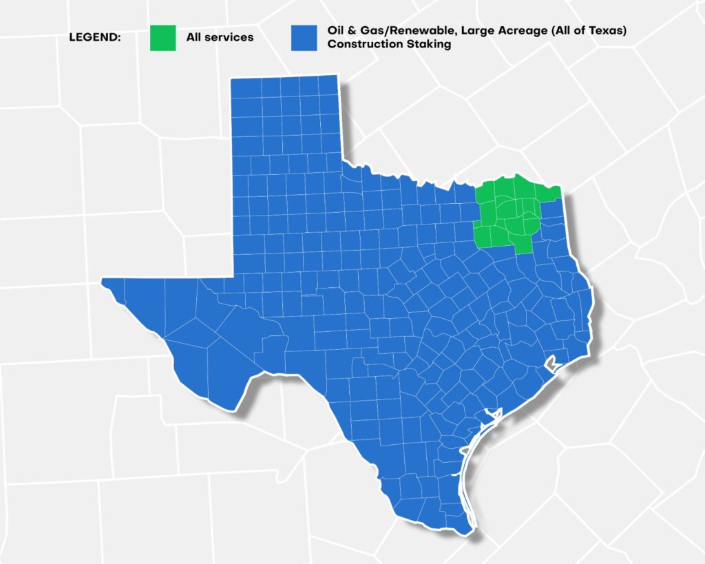
Delivers specialized surveying for pipelines, well sites, transmission lines, and renewable energy projects. Supports accurate planning, permitting, and construction for energy infrastructure across Texas.
Provides precise staking, layout, and as-built verification to ensure projects are built according to design plans. Helps contractors maintain accuracy, reduce costly errors, and keep projects on schedule.
Supports the division of land into lots or tracts, including preparation of subdivision plats that meet local regulations. Ideal for developers, landowners, and municipalities planning new developments or property splits.
Need a professional survey for your property or development project? Our team is ready to help.
The timeline depends on property size and complexity, but most surveys are completed within several days to a few weeks.
Yes. Surveys help ensure construction follows property boundaries and complies with local regulations.
A boundary survey determines the exact legal property lines and identifies improvements such as fences or structures.
An elevation certificate documents the elevation of a structure relative to flood zones for insurance and compliance.